Altitude problem of Parrot Disco. Crash. Flightplan with 4G/LTE USB Stick
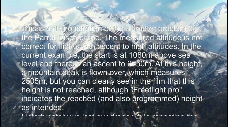
This is a demonstration of the altimeter problem of the Parrot Disco drone. The measured altitude is not correct for flights with ascent to high altitudes. In the current example, the start is at 1080m above sea level and there is an ascent to 2750m. At this height, a mountain peak is flown over, which measures 2505m, but you can clearly see in the film that this height is not reached, although “Freeflight pro” indicates the reached (and also programmed) height as intended.
Unfortunately we lost our drone while repeating the flight (with an increase of an additional 100m altitude).
Flown with a Huawei USB 4G/LTE stick and a special 3S2P 7Ah LiION battery
4g lte


Manuell funktioniert es…….
Interessante Drohne…ich hab die gleiche hier liegen……👍🇦🇹
All barometers suffer from cold weather error. Cold weather correction should be applied whenever the condition is below ISA -15 degrees.
https://www.skybrary.aero/index.php/Altimeter_Temperature_Error_Correction
Majestic mountains and still strong winter high above where there was a road or so at the ridge at the end of the video.
If you might not know where you had lost it there is a gps based on radio transmission you can add. You will need the gps and a radio type "Baofeng UV-5R" you can get on ebay for 18€.
The gps module is freeware, you can get a pcb and populate it or buy it as PnP.
Search for "tbeacon-black-en"
This happened because your disco had a problem or could happen to everyone? Thanks for sharing very informative