Departure Planning (MV Dirona Channel)
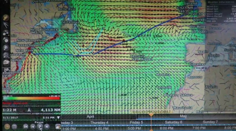
We’ve been studying the weather every day as we prepare for our Atlantic crossing from Newport, RI to Kinsale, Ireland. We use a variety of data sources, including NOAA surface analysis and 500MB forecasts. The sources we rely most heavily on are GRIB files containing data from computer-generated models such as NOAA GFS and WAVEWATCH III (WW III). The GRIB data includes predicted wind speed, barometric pressure, and wave height, period and direction. The data is purely computer-generated and is not a weather forecast, rather the model data is one of the sources meteorologists use to create the forecasts.
This video shows a visualization using today’s WW III model data of our intended route in our PC-based chartplotter software, TimeZero Professional. A major weather system is deepening over the Atlantic on May 2nd and 3rd. And two systems are moving up the US eastern seaboard on May 2nd and 6th. The weather definitely does not look good for an Atlantic crossing this week. Conditions look to be improving next week, but weather models aren’t very accurate two weeks out so we’ll have to wait and see what develops.
For context see http://mvdirona.com
atoll logiciel


