GeoServer Development Engineering is here
Get GeoServer support at Telegram: https://t.me/brighttechnilogy
GeoServer is an open-source server software that allows you to share, process, and edit geospatial data over the web. Developed by the Open Source Geospatial Foundation (OSGeo), GeoServer acts as a bridge between geospatial data and various clients such as web browsers, desktop GIS software, and mobile applications. It enables users to publish and manage geospatial data in standard formats and protocols, making it accessible to a wide range of users.
Key features and aspects of GeoServer include:
Geospatial Data Publication: GeoServer allows you to publish geospatial data in various formats, including Web Map Service (WMS), Web Feature Service (WFS), Web Coverage Service (WCS), and more. This enables users to access and visualize data in different ways based on their needs.
Open Standards: GeoServer adheres to widely accepted geospatial standards established by the Open Geospatial Consortium (OGC). This ensures compatibility with other geospatial software and allows interoperability between different systems.
Data Source Support: GeoServer supports a wide range of data sources, including popular spatial databases (such as PostgreSQL/PostGIS, MySQL, Oracle), file formats (like Shapefiles, GeoTIFF, and more), and remote web services.
Styling and Symbology: It provides tools for styling and symbolizing geospatial data. Users can create custom cartographic representations, apply labels, and define rules for data visualization.
Data Transformation: GeoServer can transform and process data on-the-fly, allowing you to generate different projections, formats, and renderings without modifying the source data.
Security: GeoServer offers authentication and authorization mechanisms to control access to data and services. This is essential for maintaining data privacy and ensuring that sensitive information is only accessible to authorized users.
Extensibility: The software is highly extensible through plugins and extensions, allowing developers to customize and enhance its functionality to suit specific needs.
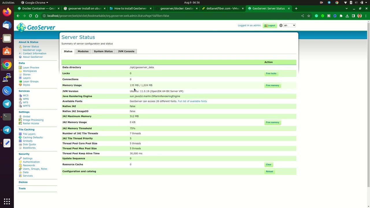
Web-based Administration: GeoServer provides a web-based administrative interface that allows users to configure and manage data sources, layers, styles, security settings, and more.
Community and Support: Like many open-source projects, GeoServer benefits from an active and collaborative community of developers and users who contribute to its ongoing development, provide support, and share resources.
Cross-Platform Compatibility: GeoServer is written in Java, making it compatible with various operating systems, including Windows, macOS, and Linux.
GeoServer is widely used in a variety of domains, including government agencies, environmental organizations, urban planning, agriculture, and more. It plays a crucial role in making geospatial data accessible and useful to a broad audience, contributing to better decision-making and understanding of the physical world.
timestamps:
0:00 – GeoServer support at Telegram
0:10 – Troubleshooting techniques for GeoServer
0:15 – Real-world examples and practical applications development
0:30 – GeoServer Server Hardening
#GeoServer #GIS #Mapping #Geospatial #OpenSourceGIS #SpatialData
by Bright Technology
linux foundation